I’m edging ever closer to the Shannon. This section is the final part of the Westmeath Greenway and also marks the western end of the Royal Canal way as it was when it first opened. The overall distance back to the Liffey crosses over the 100km mark along this section too, with Abbeyshrule 111km from Spencer Dock. This part is just over 17km in length and while most of it is pretty good surface for walking, a significant chunk, mostly at the end in Longford, would be quite a challenge for bikes. The section up to the Longford county border is being upgraded and that should all be OK for cyclists sometime this summer ( 2015). Right now only a fairly short section of the Westmeath part between Walsh’s and Kildaran Bridges between the 1.4km and 3km points is unfinished. On the Longford side it’s a slog on a mountain bike and waterproof boots / galoshes are really required for walkers.
I parked on the canal at Coolnahay but there aren’t that many spaces there so if you are planning to start from here then be aware that you may end up struggling to find a safe parking spot.
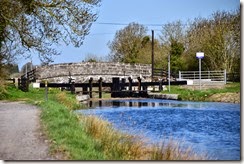
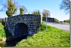
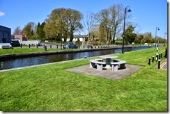
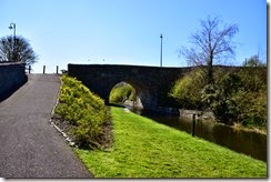
So the starting point was Coolnahay Harbour with Dolan’s Bridge and the 28th Lock. Parking may be at a premium but it is definitely one of the Royal Canal’s top ten spots. Very pretty.
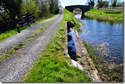
The 27th Lock is about 300m along the path which has been recently upgraded to a fairly decent cycle ready grade of aggregate.

The 28th Lock is about 500m further along.

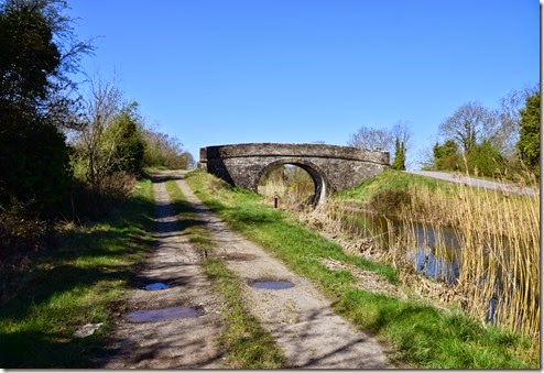
Walsh's Bridge is 600m or so further west, 1.4km from Coolnahay. the upgrade works for the Westmeath Greenway have just about reached this spot and just after the bridge is changes to fairly rough grass, and it is a bit mucky in parts due in some part to the construction work. This part is under construction though, and it’s only about 1.5km in length so with some luck it will be fully upgraded this year. It is is also the only really troublesome section before the Royal Canal Way reaches Longford. Upgrading the Longford section of the Royal Canal Way is going to take a lot longer, I wouldn’t expect it before 2017 at the earliest.
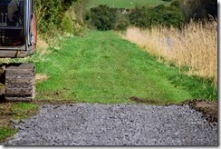
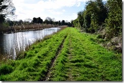
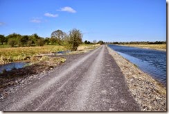
Kildallan Bridge comes up 1.5km later and marks the start of a better hard packed aggregate surface, that is perfect for walking and should OK for any bikes with that have some level of off road capability.


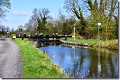
From Kildallan Bridge the 29th Lock is 200m to west and both the 30th and 31st can be seen in the distance.
The 30th lock is 300m beyond the 29th.
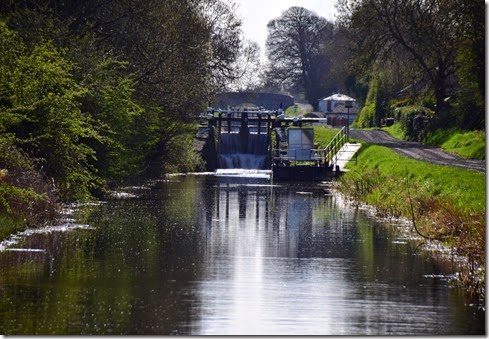
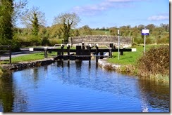
And the 31st lock is another 200m further on, with a very nicely upgraded lock keepers cottage. And some very big dogs.
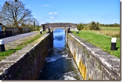
It’s a bit of a hike, 700m or so, to the 32nd Lock and Kill Bridge. It’s pretty nice spot here as the canal turns north for a bit. This pattern of an integrated access bridge and lock is fairly common on this stretch. There are similar bridge and lock structures elsewhere but these were clearly built as a single project, possibly in anticipation of a roadway that has never transpired for some reason.
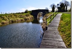

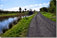
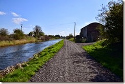
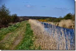
The 33rd Lock is 800m further along. The path continues with the aggregate surface that started back at Kildaran Bridge. It’s a bit rugged but it should be OK for most bikes and makes for very pleasant walking.
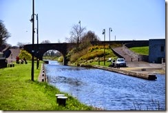
The 33rd lock is followed by a 1.4km stretch of open country to the 34th Lock and the Balroe Bridge. This is another one of those single build bridge/lock units.
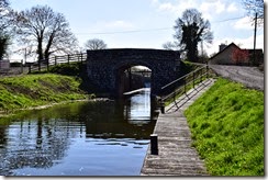
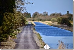
The stretch from the 34th lock to the 35th lock and Ballynacargy Bridge and harbour is about 2km and includes a long stretch of recently repaired canal and cycle path/walkway.
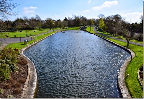
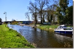
Ballynacargy is very nice harbour and is a good point to stop for a break. It’s pretty but there’s not a lot here so bring picnic supplies. It’s approximately 8.5km from Coolnahey so it is a pretty good target for an out and back day walk that starts at Coolnahey, or vice versa.
The aggregate path surface continues on for another 1.5km to the 36th Lock and Bridge. This is the first bridge on the canal, apart from Rail bridges that seem to never get names, that is unnamed as far as I can recall. So I have no idea of its name but once again it seems to have been built in anticipation of a road that never happened.
There’s a section of slightly more formal road between here and Kiddy's Bridge 600m later on as there is another very nice house at the 36th lock. It’s not quite a tarred surface but there is a bit of structure to the aggregate.
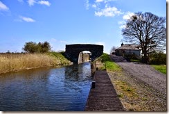
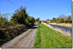
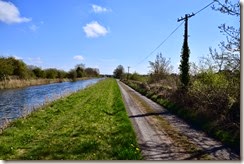
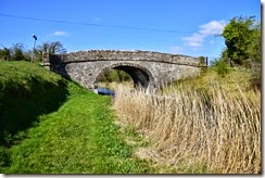
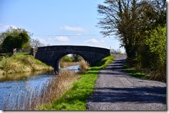
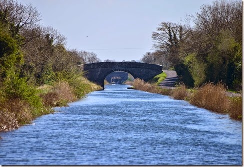
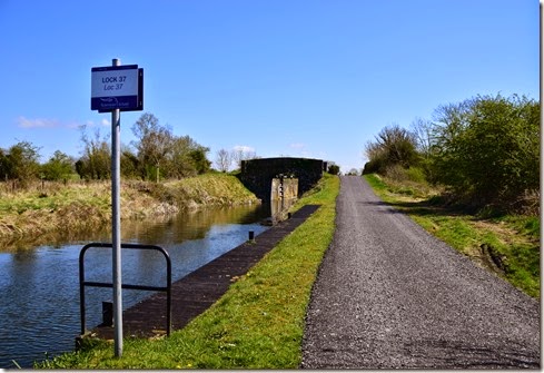
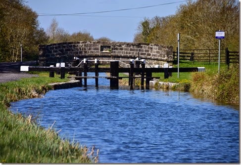
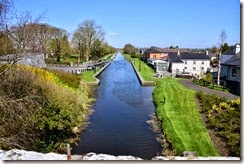
Another 600m brings up the 37th Lock and it’s orphaned bridge. These two really do need names, I will have to search for them. As you can see the pathway continues to be very solid and fine for both cyclists and walkers.
After a final 400m stretch the Westmeath Greenway currently comes to an end at the 38th Lock and Kelly's Bridge. This is the point where the Royal Canal Way reverts to grass, dirt and a lot of mud. It’s still perfectly fine for walking but some parts after this would not be fun for most cyclists. The plan by Westmeath County Council to extend the Westmeath Greenway to the Longford county border will require major upgrades of the surface from here to about half a km past the Bog Bridge, about 3km west of the 38th lock.
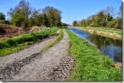
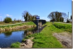
500m of rugged path later brings up Ledwidths Bridge another slightly orphaned bridge although in this case it does provide access to the road across the canal.
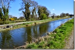

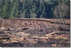
This then leads into a long section that winds through the bogs around Ballymclavey. The Blackwater Aqueduct is the only major engineering feature on this stretch coming up 900m after Ledwidths bridge. Someone had been burning scrub here, which seems fairly risky to me considering the fact that they are also harvesting the bog along this section too.
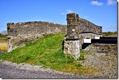
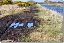
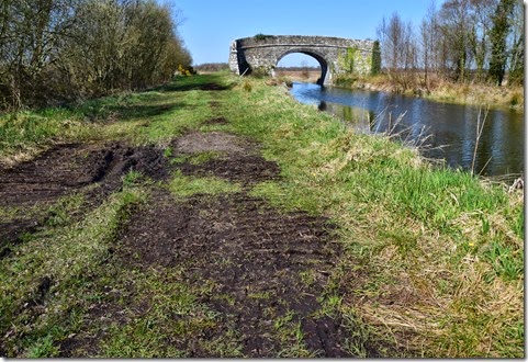
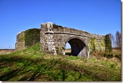
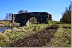
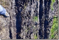
1.3km after the Blackwater Aqueduct the way arrives at the weird and impressive Bog Bridge. This really looks out of place, quite mad really. The pathway here is very muddy and full of ruts caused by the bog harvesting machinery. Waterproof boots are very useful here. The Westmeath/Longford county border is about 300m to the west of the Bog Bridge.
After a further 1.4km of bog pathway the road changes to tarred surface on the approach to Quinn's Bridge on the outskirts of Abbeyshrule.


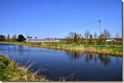
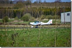
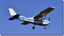
300m after Quinn’s Bridge there is a dramatic change in the environment as Abbeyshrule Aerodrome appears across the canal to the north. It was very busy when I was passing by.
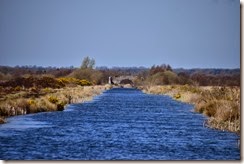
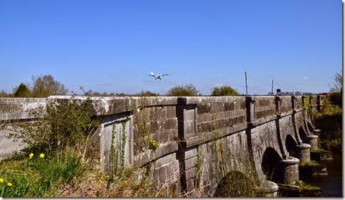
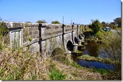
After another 300m or so the path comes to the Whitworth Aqueduct over the River Inny. This is a beautiful example of Irish canal engineering.

250m after the aqueduct there is Scally's Bridge that carries the main road over the canal into Abbeyshrule village.
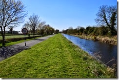

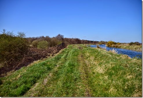
There is a very pretty final 800m raised grass tow path section that marks the end of this section of the Royal Canal way which finishes up in the village at Abbeyshrule harbour and Webb's Bridge. Obviously cyclists can just take the road at this point. For the weary hiker There’s a really nice pub here, the Rustic Inn, that backs on to the canal that makes an amazing sandwich, which was very welcome as I had to turn around at this point and head back on an 18km return trip to Coolnahey to pick up my car. At least I know I have a good spot to park for tomorrow for the next section.











































No comments:
Post a Comment