So this is the final part. I stopped last weekend at Longford Bridge just north of Ballymahon on the R392 from Mullingar to Longford town. It’s a nice spot to park and head out for a walk but I think it’s worth mentioning that most of the good parking is on the south east side of the bridge. I ended having to do some advanced reversing after trying to park on the north west side, i.e. on the left as you approach Ballymahon from the north.
Anyway the final route looks like this:
As you can see, just after Ballymahon, the canal takes a hard right and basically tacks north-north-west up to Richmond Harbour in Cloondara. My trip needed to hit the Shannon so I continued on for a couple of km more to Tarmonbarry.
I actually split this walk into two, and stopped at the Longford Spur Line on the first day, but I’m going to replay it here as if it was one single run. If you were walking one way you would probably do this part in one leg in any case.
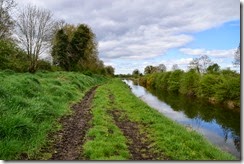
Starting from Longford Bridge, on the R392, just outside Ballymahon on the way to Longford. The path is grass basically. Nice for walking if it’s not wet, not good for cycling.
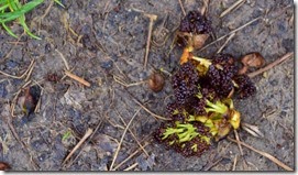
I kept coming across these scattered underneath ash trees. I think they are some sort of early spring blossom / fruiting process but it’s very weird how they all seem to have fallen off at the same time.
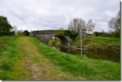
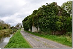
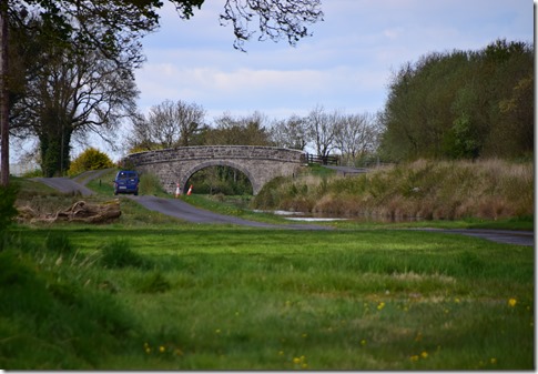
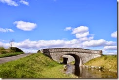
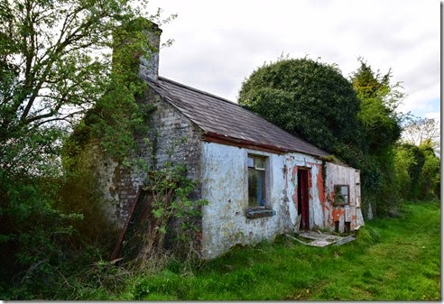
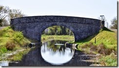
700m along the way is Archie’s Bridge that provides a connection to some farm lands so is somewhat in use as a road bridge. The ruined buildings on the western side have been quite aggressively sealed up with concrete blocks, presumably as a safety measure in advance of upgrades to the way for more traffic. The way changes to a better surface here but there are a lot of potholes.
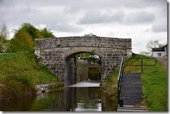
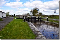
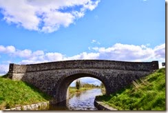
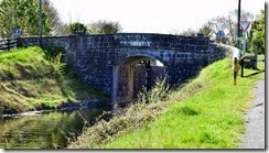
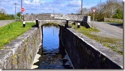
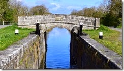
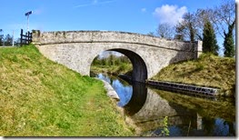
At the 2.1km mark the 40th lock and Mullawornia Bridge provide another example of the standard lock tempalte – with single lock, bridge and lock keeper’s cottage all built to the same specification that has been repeated multiple times since Coolnahay. It’s interesting that there seems to be a very clear line in time after which it was adopted wherever possible.
A few hundred meters to the west marks the point where the canal hooks north with some interesting canal engineering. The rock cutting here is fairly unusual, the last time I saw this type of work on the canal was back at the Deep Sinking between Coolmine and Castleknock. The canal hugs the hillside here for a kilometer or two with a very significant drop off to the left ( ie south\west side).
The path here continues to be hard packed aggregate with a lot of potholes.
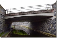
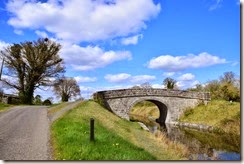
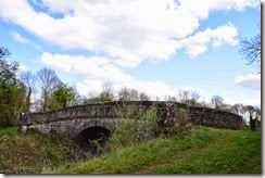
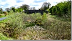
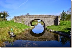
At the 3km mark the way passes under the older Pike’s Bridge just before the new R392 Road Bridge as it turns west briefly.
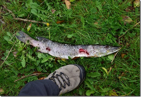
Spring has well and truly sprung but I came across this rather sad pike that appears to have been sacrificed just so that something could eat it’s liver. Very weird. I’ve heard that crows and ravens will selectively take the liver from dead animals they come across but it seems a bit of a stretch in this case. It’s very strange, I hope it wasn’t an angler just throwing it away.
The path reverts to fairly rough and ready grass and dirt at this point.
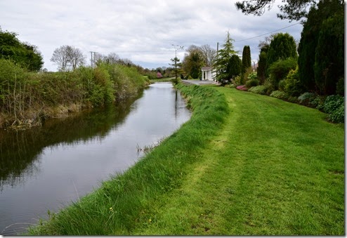
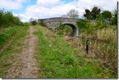
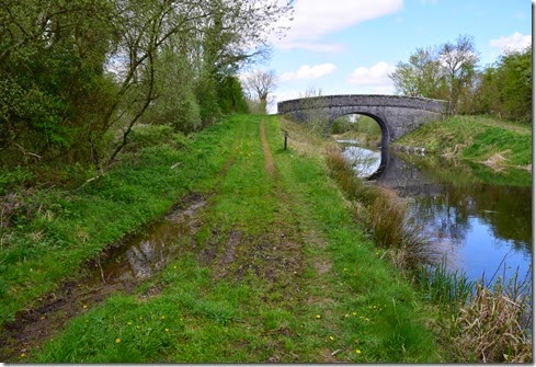
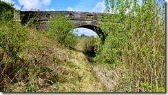
At the 4.5km mark the path passed under the L1132 and the Foigha Bridge. The way continues as a grassy path up to the bridge, and then becomes someone’s driveway.
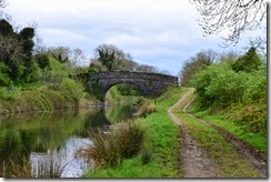
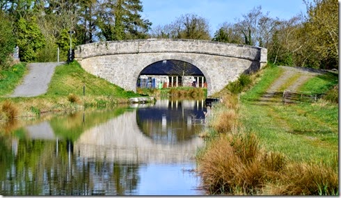
This is looking back at the house and the bridge. This is an awkward part of the way as these people have been allowed to take over a little bit too much. It’s a very pretty house, and they clearly tend to the whole area really well but I felt like a trespasser walking along. I also felt pissed off that they made me feel that way. This is one of the few spots along the walk where I think the people living by the canal are in conflict with the way but I may just be projecting. Nobody gave me any grief for what it’s worth and it is very well tended.
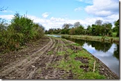
Immediately after this things go downhill fairly rapidly. The way is being repaired and upgrade for a couple of km along this section and good luck trying to cycle this.
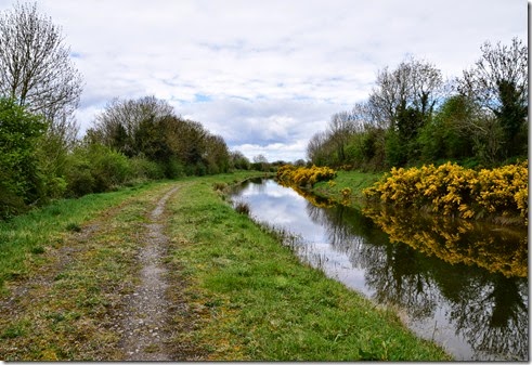
The Cloonbreeny Bridge comes up at the 6km mark. The path continues on as grass / dirt.
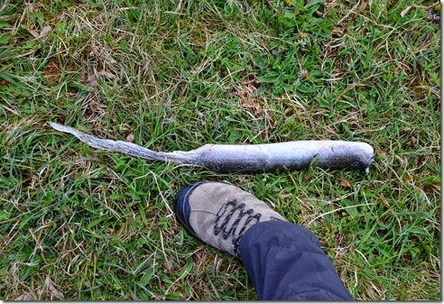
This looks like an eel to me, or what's left of one. A very, very big eel. Something around here likes to nibble.
Island Bridge and it’s harbour arrives at the 7.9km mark.
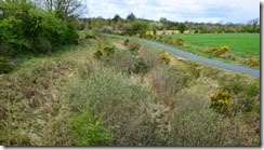
The path gets pretty bad here, overall I think this section is the worst on the entire canal.
There is a significant change in surface and atmosphere 1.5km later as the Coolnahinch Bridge and 41st Lock come up at the 9.4km point. The way follows a busy rural road for the next 3km or so and you need pay attention as it is narrow and there is a lot of traffic. Everybody is polite so you should be too.
At 11.3km Ard’s Bridge, the road and traffic continues.
At 11.73km the 42nd Lock.
At 12.68km Ballinamore Bridge and the R398 Road Bridge, The way changes back to grass path here.
At 13.76km the Crossover Bridge.
At 14.50km the Royal Canal Longford Branch Spur line heads north east towards Aghantra.
This is the point where I turned back, returning the next day to take a look at the rather intriguing Longford Spur line. The canal is dammed up about 50m along the spur.
I didn’t go very far up but it shows just how quickly a canal can turn into a swamp. The royal Canal Blueway cycle / walkway runs along the northern bank from here to Longford town, about 6km away. The Blueway route is a very fine aggregate surface suitable for almost all bikes. On the southern bank of the Royal canal the path continues to be a grass/dirt track up to the Aghnaskea Bridge.
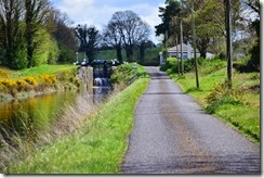
At 15.9 km Aghnaskea Bridge, R63 and 43rd Lock. The Royal Canal Way and the Blueway become the same trail from here and this surface continues all the way to the end at Richmond Harbour.
16.54km Savage Bridge, 44th Lock. Frances Cottage.
At 17.54km Ballydrum Bridge, surfaced path
At 19.6km the L1170 Road Bridge (Lifting) and the Begnagh Bridge.
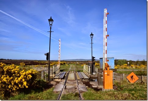
At 20.7km unnamed Bridge into Clogher and Rinn, used by Bord na Mona bog railways.
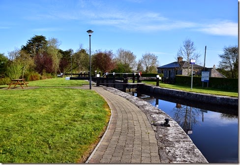
At 21.17km 45th Lock.
At 22.3km Cloondara Bridge and the L117.
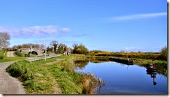
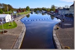
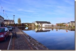
At 22.30km Richmond Harbour.
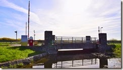
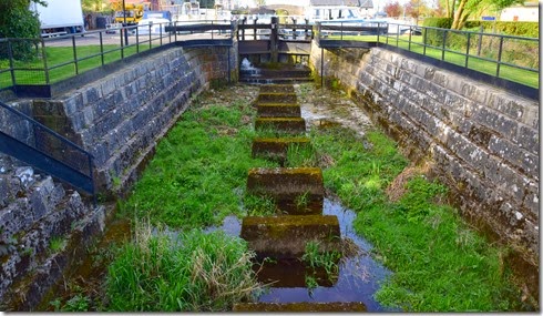
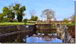
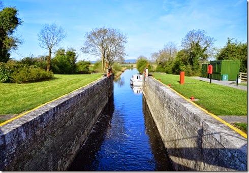
At 22.45km the 46th Lock, the final one on the Royal Canal linking to the Camlin river.
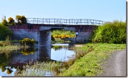
At 23.00km Road Bridge over Camlin River canal from the lock looking east.
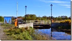
Camlin River Lock into the Shannon.
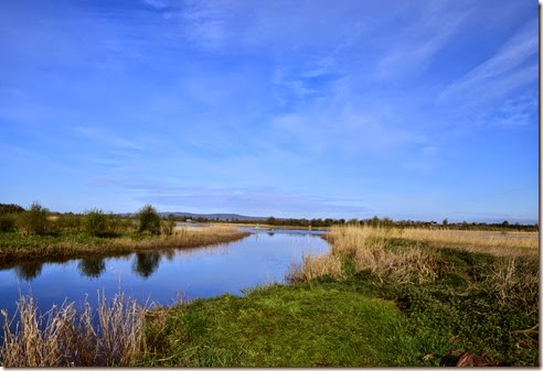
And finally the end of The Royal Canal at the Shannon. Finis.































No comments:
Post a Comment